Wednesday, October 17, 2018

10/9 – Disembark, Return to Panama City


We left the boat this morning and traveled over a rough road to San Lorenzo National Park, about 3 miles away. This was the site of a defensive fort located at the mouth of the Chagres River and the Caribbean Sea, established in the late 1500s. The original, at water level, was attacked by Henry Morgan from the land side in 1670, who left it in ruins, then used it as a base to attack Panama City the next year. In 1680, the Spanish rebuilt it on the cliff above and fortified it in the back with a dry moat and a drawbridge. Not much is left of it, and we spent about 30 minutes walking around the various levels. The original canal entrance dug by the French utilized this river, but eventually, a more easterly entrance was created.
Bird at the dock
Image of the original Fort San Lorenzo
The Chagres River
Next several photos are of San Lorenzo


Interesting bird - note the tiny feather at the back of his head
Jim climbed the hill behind the fort.
Back on the bus, we had to cross the canal entrance, and a bridge across is still being built, so the bus took a ferry over to the Colon side where the road south to Panama City is. Lake Gatun stretches far to the west and there does not appear to be a convenient south route there. Before going to our hotel, we stopped for lunch the Miraflores Locks, near where we were a few days ago, and then visited the central cupola with murals of the canal. 
The Gatun Lake Dam from the other side.
On the ferry, we get a real rain storm, and we were on the
bus, totally protected. We wore rain gear for all of 15 minutes
despite constant forecasts of 80% chances of rain daily.
Monument in front of the admin building to Goethals,
the man who build most of the canal.
The palm trees in the park mark the width and
length of the original locks.

Interior of the cupola
Above and below: the murals in the cupola
 

Statue of Teddy Roosevelt who was a major
proponent of the canal when he was
Secretary of the Navy.
Finally, we made it to our hotel with a mission to find a few more gifts, pack for the trip home (we had to leave the hotel at 5:30am, so last minute packing was kept to a minimum), and clean up for our farewell dinner.All in all, it has been a good, if short, trip with enjoyable travel companions and a very knowledgeable and helpful tour director.

Tuesday, October 16, 2018

10/8 -- Transiting to the Caribbean


After breakfast, we headed off in small boats to visit the locks and the former American fort here. We were very fortunate to arrive as a large ship was entering the new canal, because there are many fewer of them. We landed at the site of a former Yacht Club that operated for the residents of the Fort. The gates operate differently in the new locks. Instead of gates that swing out or in and meet in the middle, these slide from one side to the other in pairs for safety. They also function as one-lane roads across the canal when they are closed, which is very handy.   
This ship is moving to the new locks. It has 4 tugs on this side
and probably another 2 or more on the other side.
We spent some time watching the big ship move from its first lock and the clever way the gates slide across into place. Then we took a very short nature walk, which touted both animals and plants, but the only animal we saw was one butterfly. There was also a very informative 12 minute movie that showed the history of building the extra big lane. The requirement for it was actually understood in the 1930's and the U.S. started construction in 1939, but WWII intervened and work was stopped. It was not restarted until Panama got control of the canal. In 2004, a referendum  was required to make such a big investment and it passed. It took several years to get construction going, but now it has been operational for two years. They are still working out some  kinks in the system. For instance, they had a plan to conserve up to 60% of the fresh water that would otherwise be discharged as the down gates empty, but they are not using it.
The low concrete across the canal is the dam on the Chagres
River that created the big lake we are in.
The big ship exits the first lock. The road across behind it is a
lock. There is a second one, not currently extended. They become
a pair of one way roads when closed.
Above and below: The big ship continues toward the Caribbean.
The gray building on the right is a control tower. A system of
ponds to conserve fresh water lies beyond the ship.


A better view of the lock that is a road behind the ship.
Here, the lock is extending slowly to permit the next step down.
Work on the Atlantic Bridge
About the only interesting thing we saw on the short nature walk
was this fig.
Back on the bus, we visited remnants of the Fort Davis on this side and the non-military worker housing. Not only were there military families here, the workers employed in the canal zone also had housing for themselves and their families. Our canal guide, Ian, came to live in various canal zone locations after his parents divorced and he moved in with his father when he was in 4th grade. At the time, he spoke no English, but was thrust into an American school and now has totally unaccented English as a result. He initially lived in Gamboa, but two years later, his father was transferred here, so we got a very personalized tour. We saw his elementary school and where he was posted as a safety patrol. Many of the buildings have been sold and upgraded, but some are getting pretty derelict.
Original look of a house.
A fixed up version.
Most of the houses are stucco on concrete block, but this older
house is wood on concrete stilts.
Once we reboarded our boat, we saw our pilot board for this trip through the locks. As lunch started, we entered the locks, right behind a U.S. Navy ship Bob Hope in the lock ahead of us. This time we were joined by a much bigger ship. As we were getting ready to go in the west lane, a huge car shipping freighter entered the east lane and we pretty much proceeded along side it. 
The ship we followed
We lined up behind it and it (below) went through the first lock
ahead of us.
 

This time, we are in the west lane and this big boy is coming
through in the east lane.
Another view of how the side eaves of the building were lopped
off after they became a problem for the ships.
Bob Hope gets into the next lock.
Our partner ship pulls in behind us.
This pilot was a level 11 and worked the new lane for two years,
but hated the more manual process without the little trains and
voluntarily down-graded to a level 9 to go back to work he likes.
Now the Bob Hope is level with the Caribbean

Our captain guides the ship from auxilliary
controls on either side of the wheel house.
Those two little round indentations have tie ups in them and were
put there so if a ship started to sink in the lock, it could be tied
off and removed more quickly to minimize downtime in the canal.
Out we to the Caribbean.
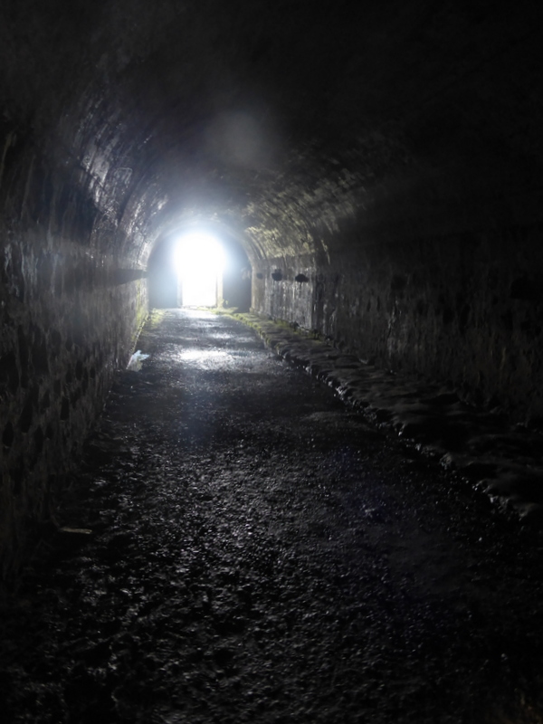
Out of the locks, we sailed to a marina on the west side of the entrance to the Caribbean and docked for the night. This marina used to be Fort Sherman, and we spent about an hour walking around. We saw monkeys and hawks and a lot of derelict buildings. Some are being used for the AeroNavy. (The Panamanian army was disbanded after Noriega, but they have a coast guard and decided they needed air support for it.)
Lighthouse


This bird had some dinner he was guarding just off the path.
Several times while we watched he went in to snatch a bite
before coming back to ensure we weren't going to try to grab it.


AeroNaval housing
Back on board, we had the Captain's dinner and then prepared to depart in the morning.